Is Rogers Pass Open? — Live Highway 1 Conditions, Webcams & Weather
Live road conditions for Rogers Pass on Highway 1 (Trans-Canada) through Glacier National Park between Revelstoke and Golden. Official DriveBC data refreshed every 5 minutes, plus webcams and Environment Canada weather.
Live Rogers Pass webcams
View all →
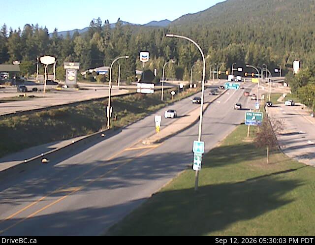
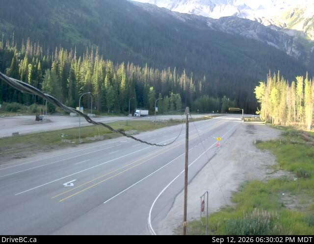
Rogers Pass Summit
Highway 1 at the Rogers Pass Summit in Glacier National Park — highest point on the Trans-Canada.

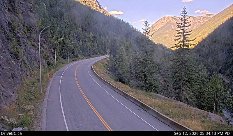
Albert Canyon
Highway 1 about 30 km east of Revelstoke — western approach to Rogers Pass.

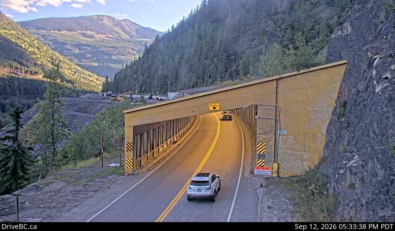
Jack MacDonald Snowshed — West
Highway 1 about 46 km east of Revelstoke at the Jack MacDonald snowshed, looking west.

Jack MacDonald Snowshed — East
Highway 1 about 46 km east of Revelstoke at the Jack MacDonald snowshed, looking east.

Revelstoke
Highway 1 at the east end of the Columbia River Bridge in Revelstoke, looking east.
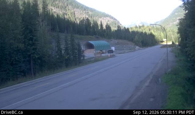
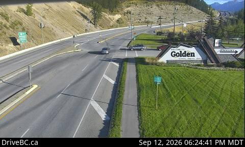
Golden — Eastbound
Highway 1 at the Highway 95 interchange in Golden, looking east along Hwy 1.
Rogers Pass weather
Environment Canada →Current conditions and forecast for Rogers Pass Summit (elev. ~1,330 m) in Glacier National Park.
Weather data temporarily unavailable.
Weather via Open-Meteo (public forecast API) keyed on Rogers Pass summit coordinates. Environment Canada's citypage XML feed for the corridor is currently unavailable. Snow at the summit can differ sharply from Revelstoke or Golden — check the Summit webcam alongside the forecast.
Free alerts the moment Rogers Pass closes
FreeFree, year-round closure alerts — no account, no password, unsubscribe anytime.
Push alerts on this device
Instant notification even when the tab is closed.
All active incidents (7)
INCIDENT
WBDELAYEDWashout. Right lane closed. Westbound slow lane is closed on Beaver Hill. Fast lane remains open.
Direction: WINCIDENT
BothDELAYEDWashrooms closed. Until Sat Oct 31. Watch for traffic control. The Revelstoke Rest Area will be closed due to highway upgrades in the area. Nearby rest areas remaining open: Illecillewaet Break check - Commercial and passenger, Rutherford rest area - Passenger, Shelter Bay rest area - Passenger and The Last Spike rest area - commercial and passenger.
Direction: BOTHCONSTRUCTION
BothDELAYEDConstruction work. Starting Wed Apr 15. From 8:00 AM to 3:00 PM PST on Wednesday and Thursday. Watch for traffic control. Watch for slow moving vehicle.
Direction: BOTHINCIDENT
BothDELAYEDLimited visibility. Watch for traffic control. Electrical outages. NO EV charging stations until Revelstoke and Golden. No snowshed lights through Rogers Pass. Please drive carefully and keep your headlights on.
Direction: BOTHCONSTRUCTION
BothDELAYEDRest area closed. Starting Tue Jul 14. Redgrave rest area is permanently closed. New rest area will be built just west of the current location. Stay tuned for more updates as construction progresses.
Direction: BOTHCONSTRUCTION
BothDELAYEDConstruction work. Starting Mon Apr 20 until Sun Dec 20. Watch for traffic control. Expect delays. Width restriction: 5 meters. More info: https://www2.gov.bc.ca/gov/content?id=BEC73F6017214DDCB2EEEAB757E678F9.
Direction: BOTHCONSTRUCTION
BothDELAYEDConstruction work. Starting Tue Jul 14. All day on Monday, Tuesday, Wednesday, Thursday, Friday, Saturday, and Sunday. Expect 30 minutes delay. 30 min delays 7PM and 8AM Monday eve to Sunday morn. 2 hr closures 4AM to 6AM Tue through Sat. 2 hour closures 1AM to 3AM Sun. Short holds any time . More info: https://www2.gov.bc.ca/gov/content?id=416CCFA6BEC74BB7ACE2D505A4D44DBF.
Direction: BOTH
Driver reports
No driver reports yet. Official DriveBC data is the source of truth above.